Steam sailing ship at Sha'ab Abu Nuhas


Data & Description
Rating¹:

Difficulty²:

Type of vessel:
Steam sailing ship
Port of registry:
England
Last cargo:
cotton, copper ingot, 40.000 English pounds in gold coins
Crew:
27 crew members, 203 passengers
Length:
98 meters
Beam:
13 meters
Tonnage:
1776 BRT
Launched:
December 8th 1862
Sunk:
September 14th, 1869
Reason sunk:
ran aground on the reef of Abu Nuhas
Position:
Sha'ab Abu Nuhas
Minimum depth:
20 meters
Maximum depth:
27 meters
Weather:
Book recommendations:
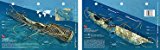 Carnatic - New Art to Media Underwater Waterproof 3D Dive Site Mapa
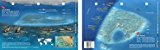 Sha'ab Abu Nuhas - New Art to Media Underwater Waterproof 3D Dive Site Mapa
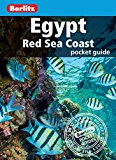 Egypt Red Sea Coast (Berlitz Pocket Guides)a
 Red Sea & Sinai: Includes Sharm-El-Sheikh, the Sinai interior, Hurghada and Eastern Deserta
 Dive-navigator Hurghada and Safagaa
Description dive spot:
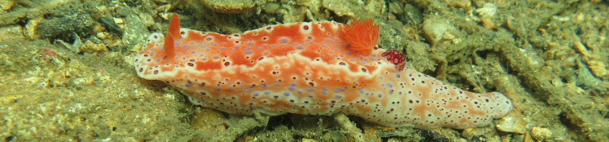
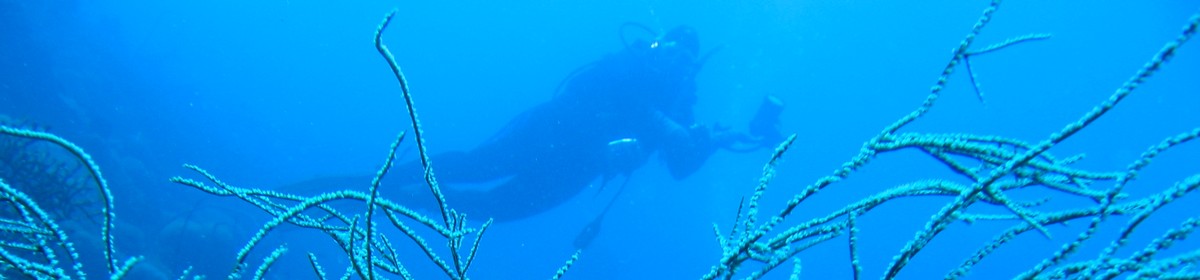
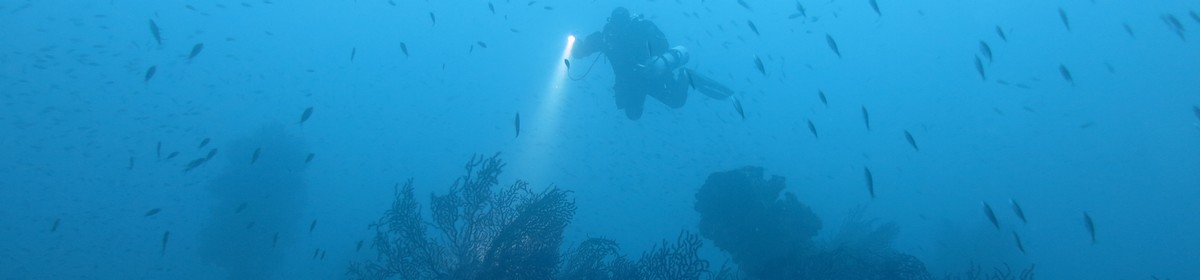
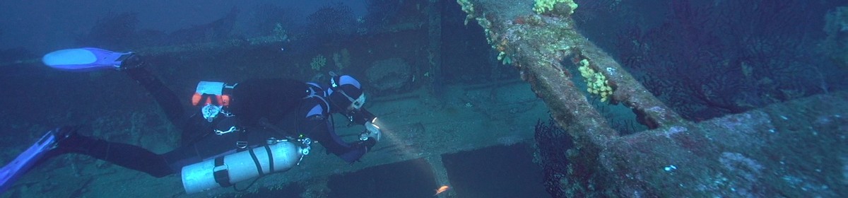
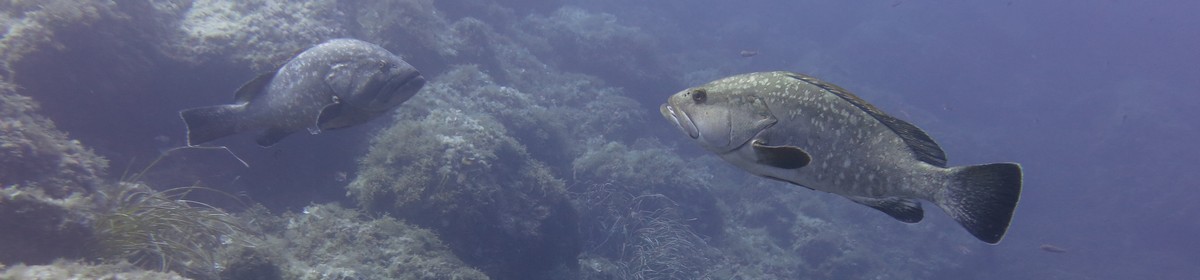
The Carnatic is located on the floor of the reef and lies on its portside. In the middle part it is very much destroyed, but bow and stern are very good preserved. The wooden decks are gone, so an easy penetration of the wreck is possible. As the wreck is there for a long time it is completly covered with corals and one of the most beautifil wrecks on the region.
The wreck was not rediscovered before 1984.
The name of Abu Nuhas might come from the last freight of the Carnatic as "Nuhas" means "copper" in arabic.
Contributed by:
Martin Sebald, Alexander Schönleber
Last content update:
2007/02/20
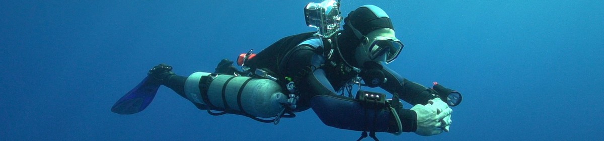
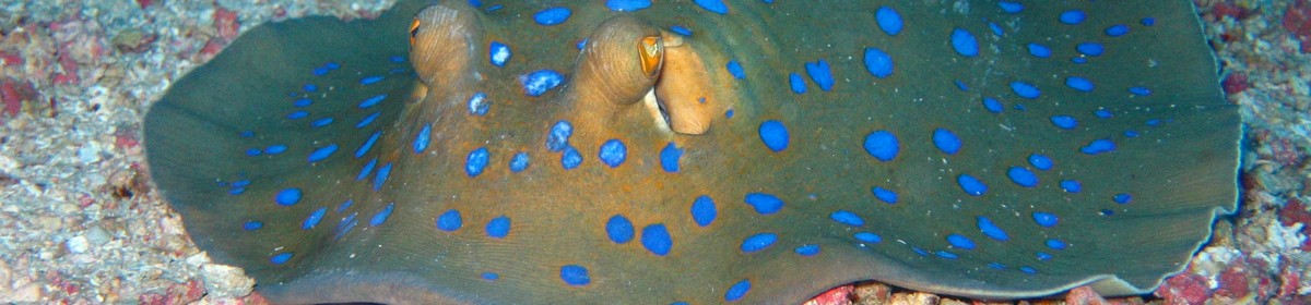
Gallery


, September 2002")


 , September 2002")


¹ Dive site rating: The rating is a five star rating ("poor" to "outstanding") and based on the dive site itself and on the comparison of all dive sites in the area. It also reflects the personal opinion and preference of the contributor.
² Dive site difficulty: The difficulty rating is a five star rating ("beginner" to "technical diver") and based on the personal opinion of the contributor and maybe also on the experience the contributor had when diving this site. We take absolutly no responsibility for diving accidents or anything else. Please always be a safe diver and dive your level of experience and please also be aware of local laws and regulations there might be.
a Amazon affiliate link: If you order we get a very little commision. Important: The price on Amazon does not change for you! It is just a bonus which we receive for the recommendation.