Reservoir near Freudenstadt in the Black Forest


, August 2002")


Data & Description
Rating¹:

Difficulty²:

Position:
Seewald / Altensteig. 15 kilometers northeast of Freudenstadt.
Approach:
drive from Altensteig into the Nagold valley upwards towards Seewald
Altitude:
552 meters
Maximum depth:
24 Meter
Visibility:
none up to 3 meters
Route planner:
Google Maps
Weather:
Book recommendations:
 Dive Atlas of the World: An Illustrated Reference to the Best Sitesa

Description dive spot:
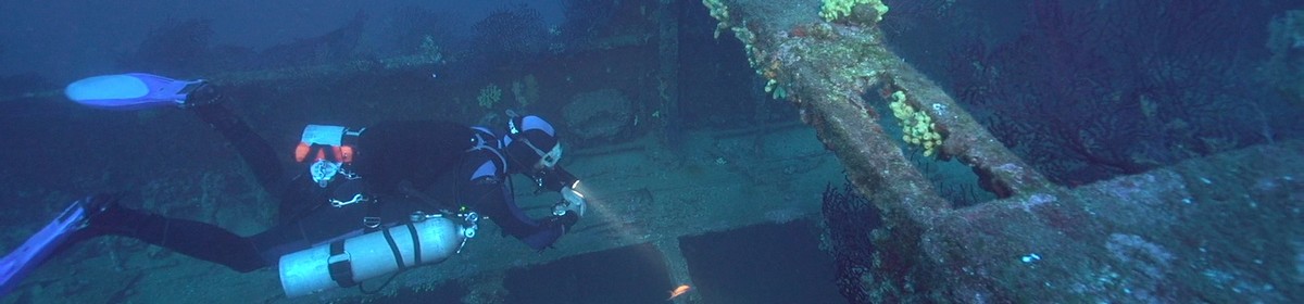
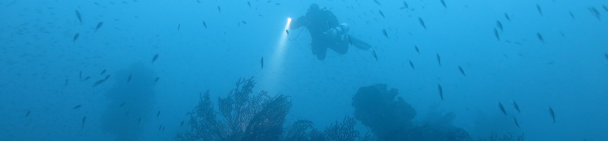
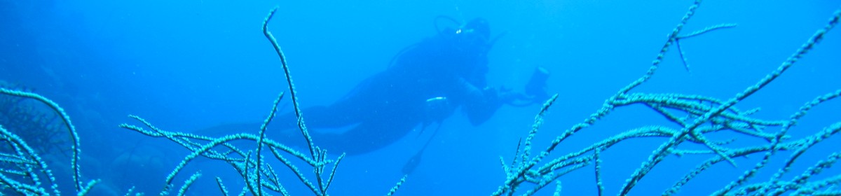
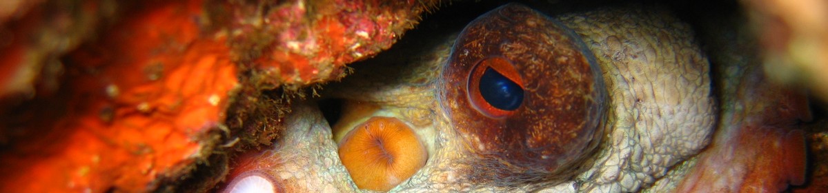
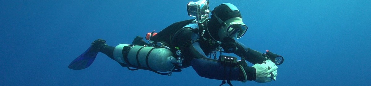
The Nagoldtalsperre serves the flood protection in the upper Nagoldtal. In the summer months, it is a heavily frequented recreational destination. On and in the lake water sports are operated in all variants.
Divers expect old stumps, a former riverbed, a former road and the "Dom" (old drain). Our images of the drained dam allow a good overview of the dive site.
Contributed by:
Martin Sebald, Alexander Schönleber, Jens Stickel
Last content update:
2007/02/20
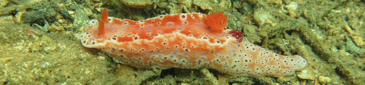
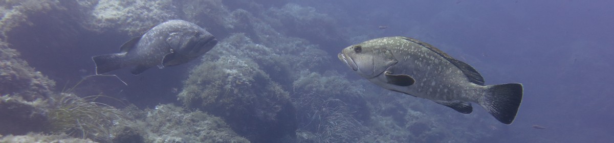
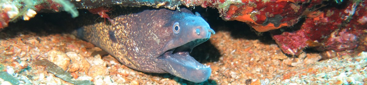
Gallery


, August 2002")
, August 2002")
, August 2002")
, August 2002")
, August 2002")
, August 2002")
, August 2002")


, August 2002")

¹ Dive site rating: The rating is a five star rating ("poor" to "outstanding") and based on the dive site itself and on the comparison of all dive sites in the area. It also reflects the personal opinion and preference of the contributor.
² Dive site difficulty: The difficulty rating is a five star rating ("beginner" to "technical diver") and based on the personal opinion of the contributor and maybe also on the experience the contributor had when diving this site. We take absolutly no responsibility for diving accidents or anything else. Please always be a safe diver and dive your level of experience and please also be aware of local laws and regulations there might be.
a Amazon affiliate link: If you order we get a very little commision. Important: The price on Amazon does not change for you! It is just a bonus which we receive for the recommendation.