
A very beautiful dive site suitable also for beginners
13° 4' 59.34" N, 59° 36' 59.72" W
Data & Description
Alternative names for this dive spot:
Carlisle Bay
Local dive center:
Roger's Scuba Shack
Route planner:
Google Maps
Weather:
Description dive spot:
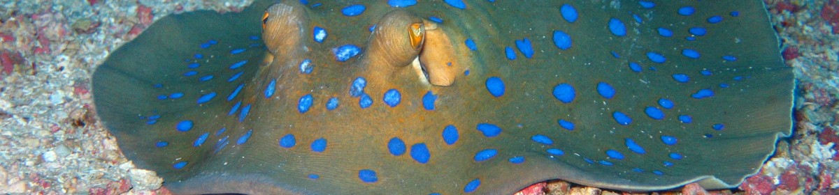
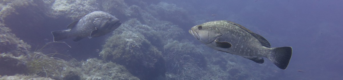
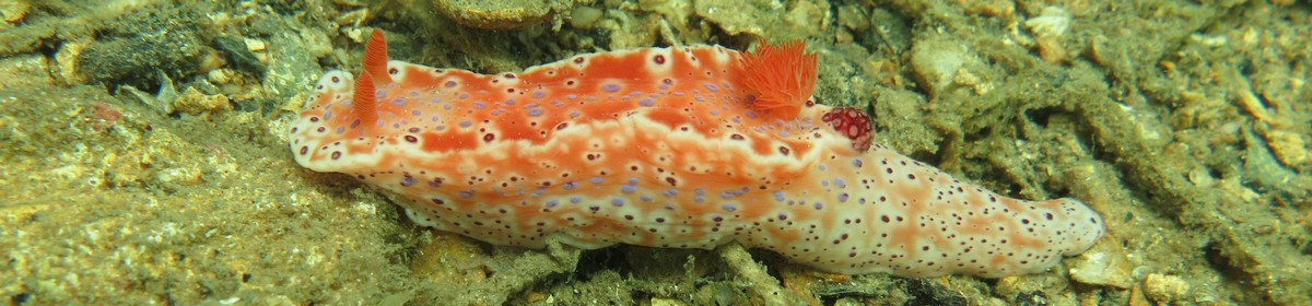
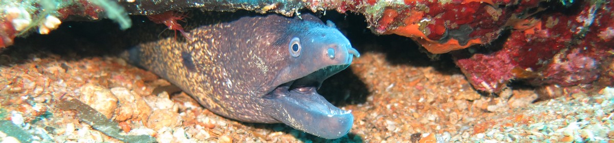
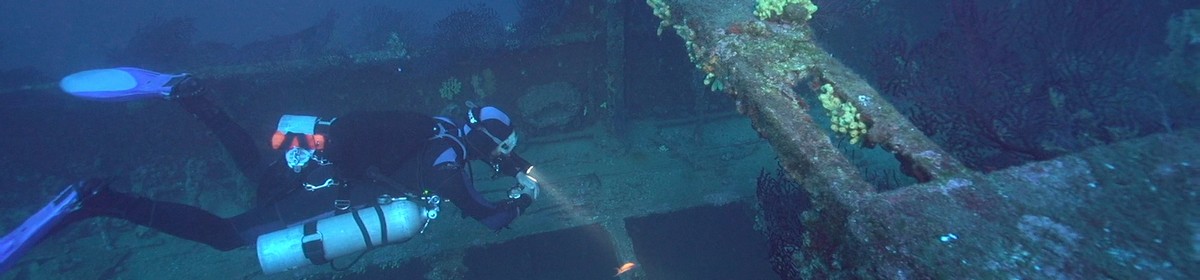
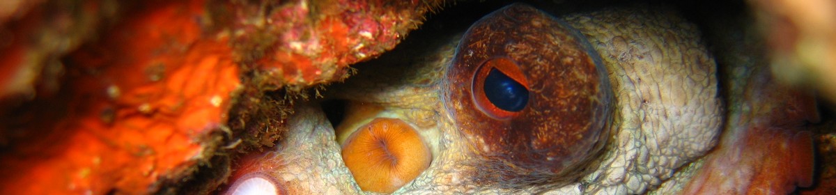
A large bay just south of the harbor of Bridgetown. Here are three smaller wrecks on sandy ground only 8 to 12 meters deep, covered with a lot of marine life.
Contributed by:
Joe
Last content update:
2009/12/05