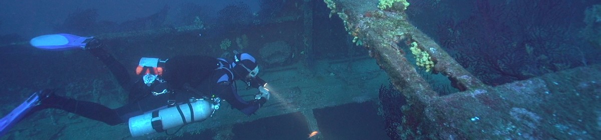
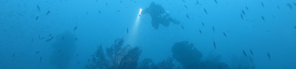
Old steamship near Giens


43° 2' 19.80" N, 6° 13' 56.40" E
Data & Description
Type of vessel:
Steamship
Length:
~40 meters
Launched:
18th century
Position:
at Giens, about 1200 meters north of Cap du Mèdes
Maximum depth:
~32 meters
Local dive center:
European Diving School
Weather:
Book recommendations:
 Dive Atlas of the World: An Illustrated Reference to the Best Sitesa

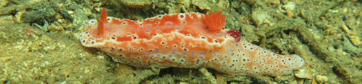
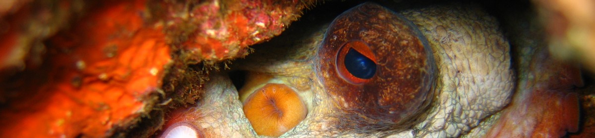
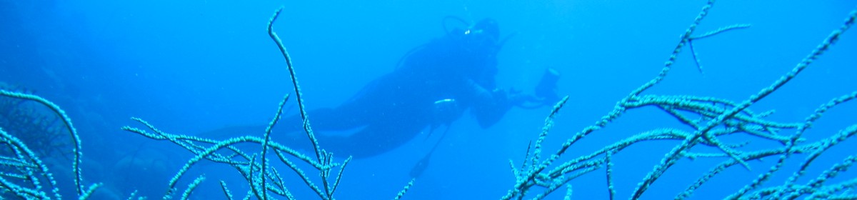
Description dive spot:
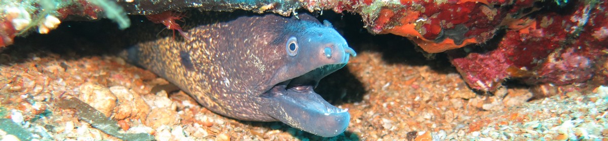
The wreck has fallen to pieces. Only the bow is still in one piece. On the wreck you can observe lobsters, conger eels and scorpionfish.
Contributed by:
Alexander Schönleber
Last content update:
2007/02/20
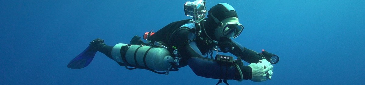
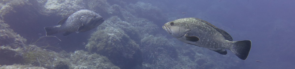
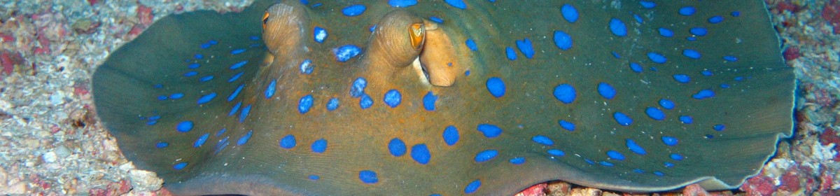
Gallery


a Amazon affiliate link: If you order we get a very little commision. Important: The price on Amazon does not change for you! It is just a bonus which we receive for the recommendation.