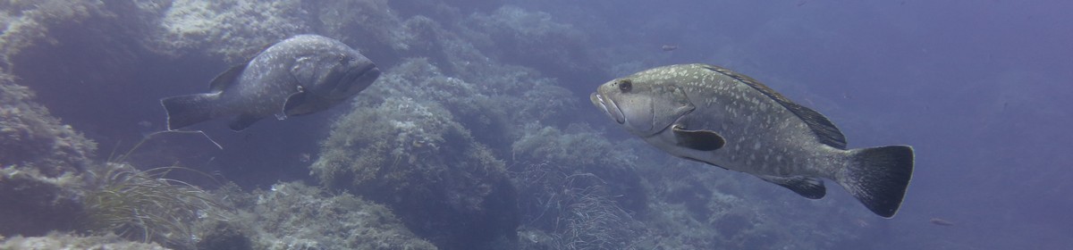
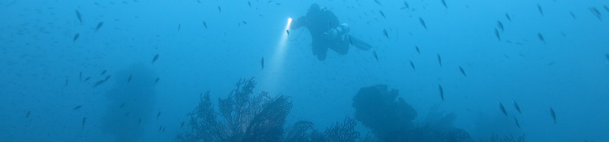
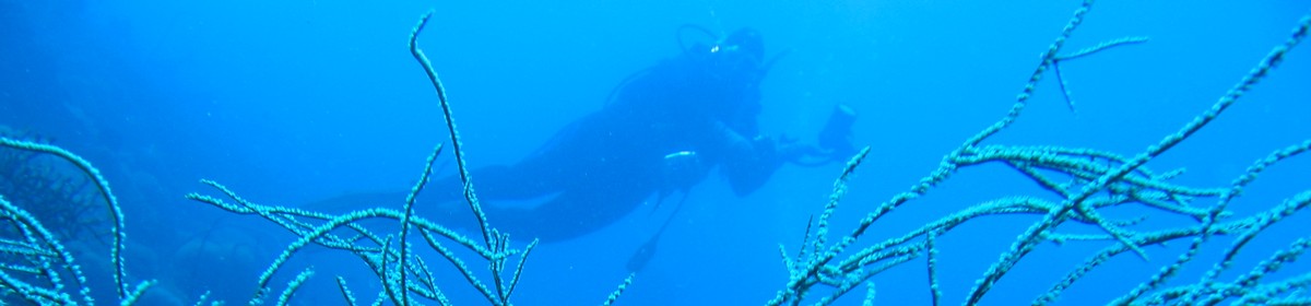
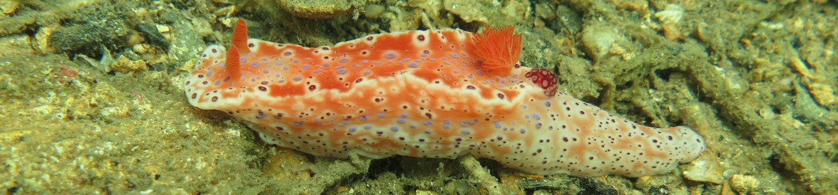
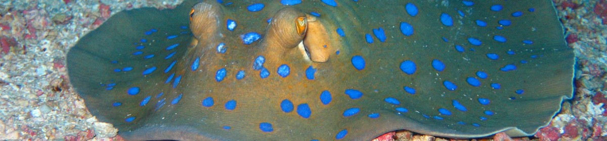
Beautiful reef an hour from Hamata


Data & Description
Boat trip:
~60 minutes from Hamata
Maximum depth:
22 meters
Weather:
Book recommendations:
 Egypt Red Sea Coast (Berlitz Pocket Guides)a
 Red Sea & Sinai: Includes Sharm-El-Sheikh, the Sinai interior, Hurghada and Eastern Deserta
 Dive-navigator El Quseir, Port Ghalib, Marsa Alam, Hamataa
 Dive Atlas of the World: An Illustrated Reference to the Best Sitesa
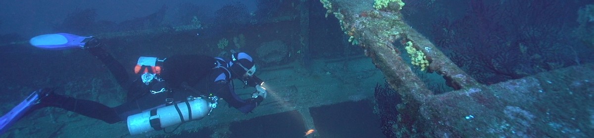
Description dive spot:
To circumnavigate the reef it takes about an hour. At the southwestern tip, at 18 meters, there is a passage through the reef, which is open at the top and goes up to about 3 meters.
Contributed by:
Clemens Wolfangel, Joe
Last content update:
2006/08/04
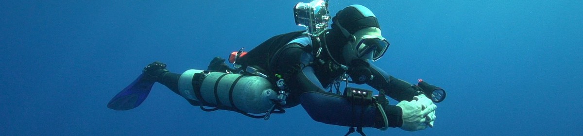
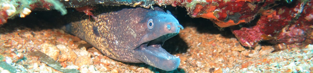
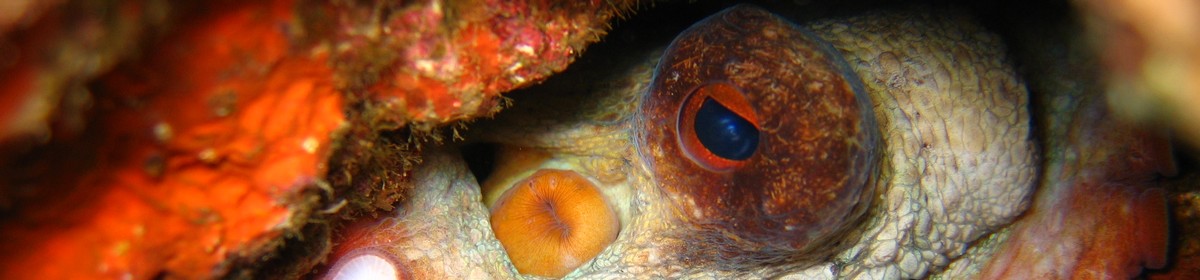
Gallery


a Amazon affiliate link: If you order we get a very little commision. Important: The price on Amazon does not change for you! It is just a bonus which we receive for the recommendation.