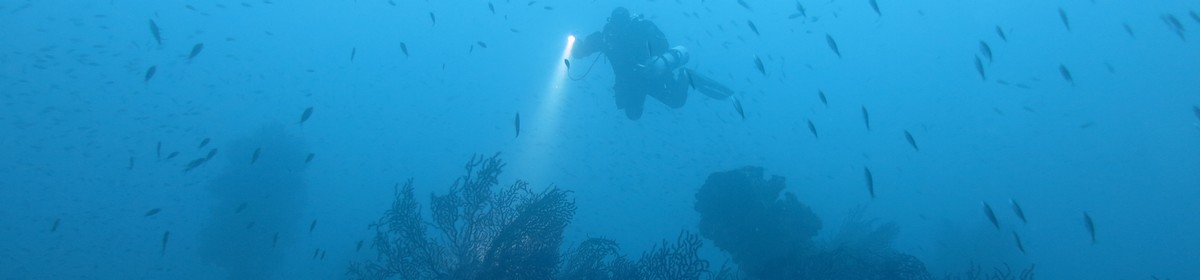
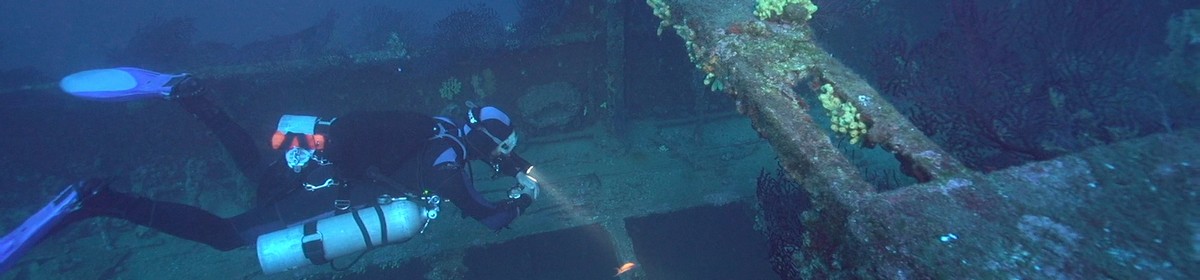
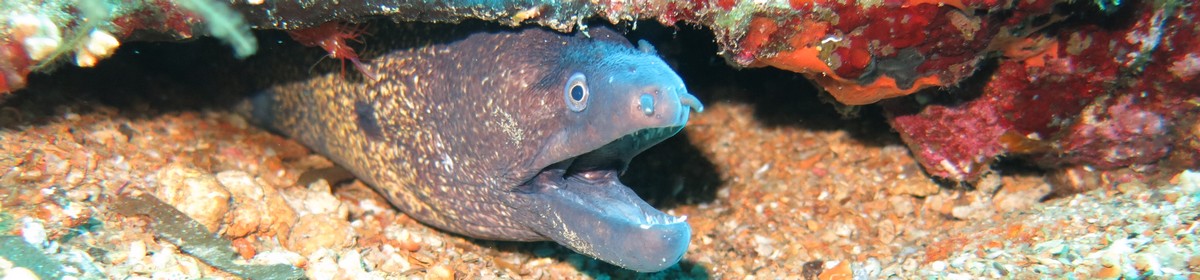
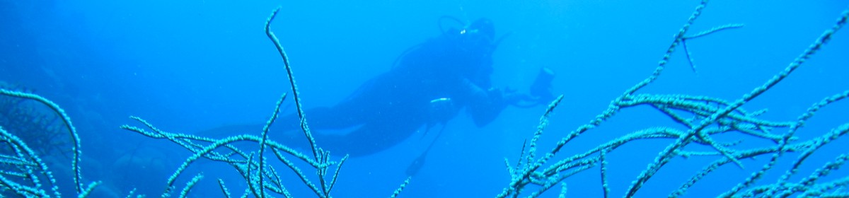
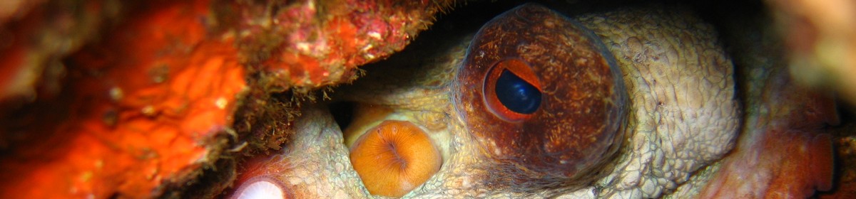
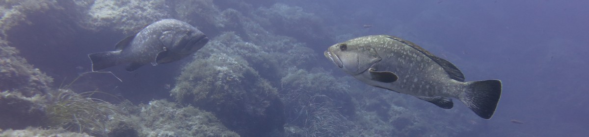
Dive site with many big and small coral blocks


Data & Description
Maximum depth:
to about 30 meters
Visibility:
about 25-30 meters
Weather:
Book recommendations:
 Egypt Red Sea Coast (Berlitz Pocket Guides)a
 Red Sea & Sinai: Includes Sharm-El-Sheikh, the Sinai interior, Hurghada and Eastern Deserta
 Dive-navigator El Quseir, Port Ghalib, Marsa Alam, Hamataa
 Dive Atlas of the World: An Illustrated Reference to the Best Sitesa
Description dive spot:
This dive site is also called "Labyrinth" because of its rugged coral blocks. The coral blocks are all lush with stone and soft corals. The place is also characterized by its abundance of fish.
Contributed by:
Clemens Wolfangel, Joe
Last content update:
2009/01/05
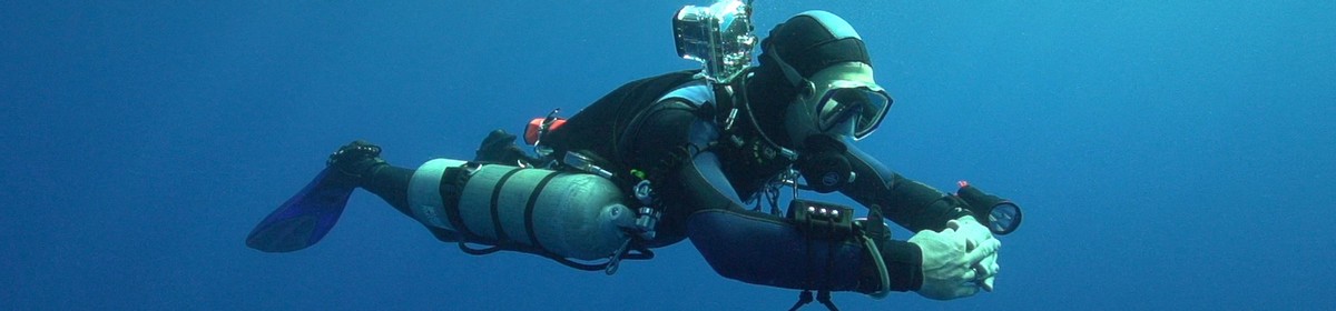
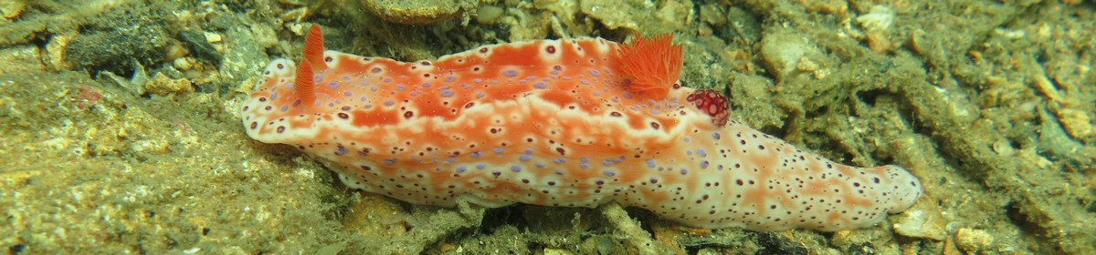
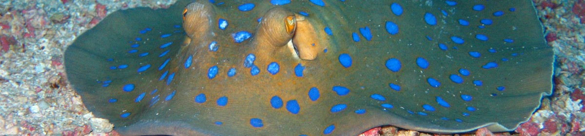
Gallery


a Amazon affiliate link: If you order we get a very little commision. Important: The price on Amazon does not change for you! It is just a bonus which we receive for the recommendation.