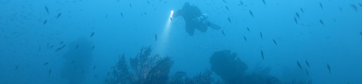
Island on the reef exit with sand plateau in front of it


16° 38.115' S, 151° 25.732' W
Data & Description
Weather:
Book recommendations:
 Diving & Snorkeling Tahiti & French Polynesiaa
 Lonely Planet Tahiti & French Polynesia (Travel Guide)a
 Dive Atlas of the World: An Illustrated Reference to the Best Sitesa

Description dive spot:
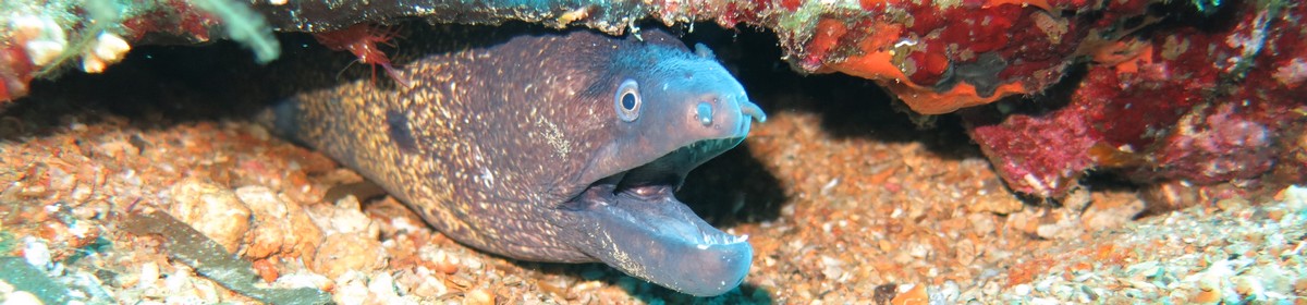
In front of the island is a sand plateau with a water depth of about 4 to 8 meters. Occasionally small, often broken, coral sticks with a lot of small fish.
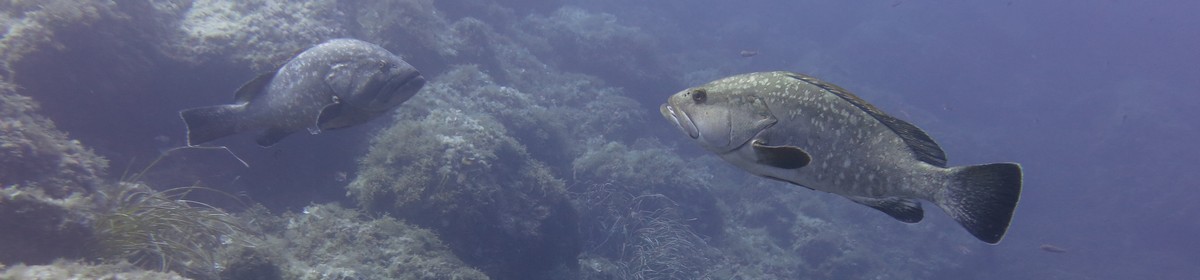
Strong current at the reef exit. No big fish.
Contributed by:
Alexander Schönleber
Last content update:
2007/02/20
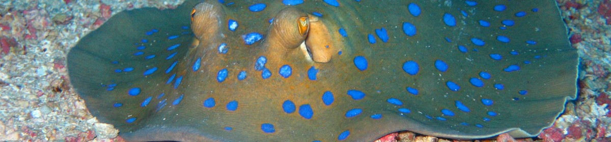
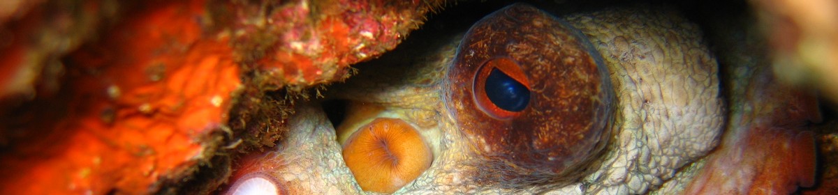
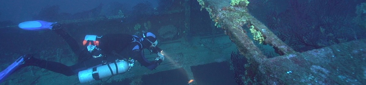
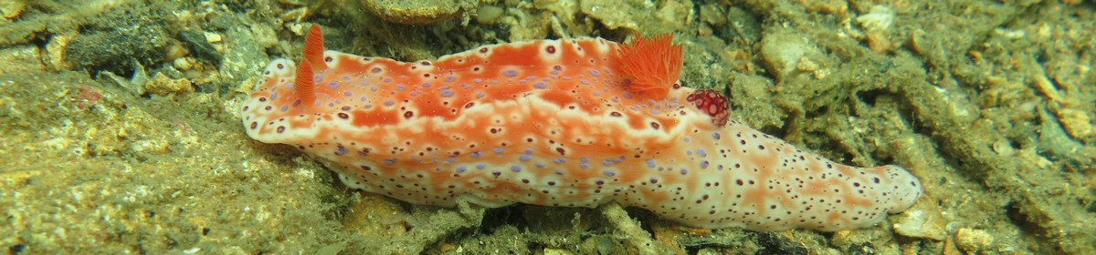
Gallery


a Amazon affiliate link: If you order we get a very little commision. Important: The price on Amazon does not change for you! It is just a bonus which we receive for the recommendation.
)